Description
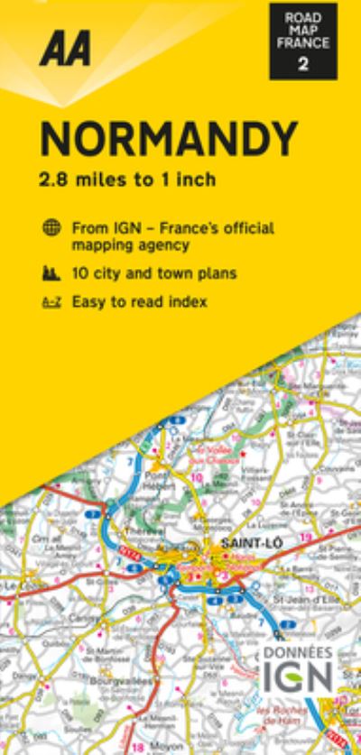
New editions, fully updated. France’s clearest mapping from the experts at the AA, in a handy foldable map. The maps combine clear design and an easy-to-read scale with more road detail to ensure that you never lose your way. Each map includes information on toll points, service areas, road numbers, motorways, dual carriageways, and wide and narrow local roads. National Parks, ski resorts, visitor attractions, and towns of interest are also highlighted.


